Working on Internal Services
Besides working on main products and the map itself, I also updated, redesigned, and unified interfaces for Yandex Maps' internal services. Here, I will present only a selection of these, as there were twice as many services in total.
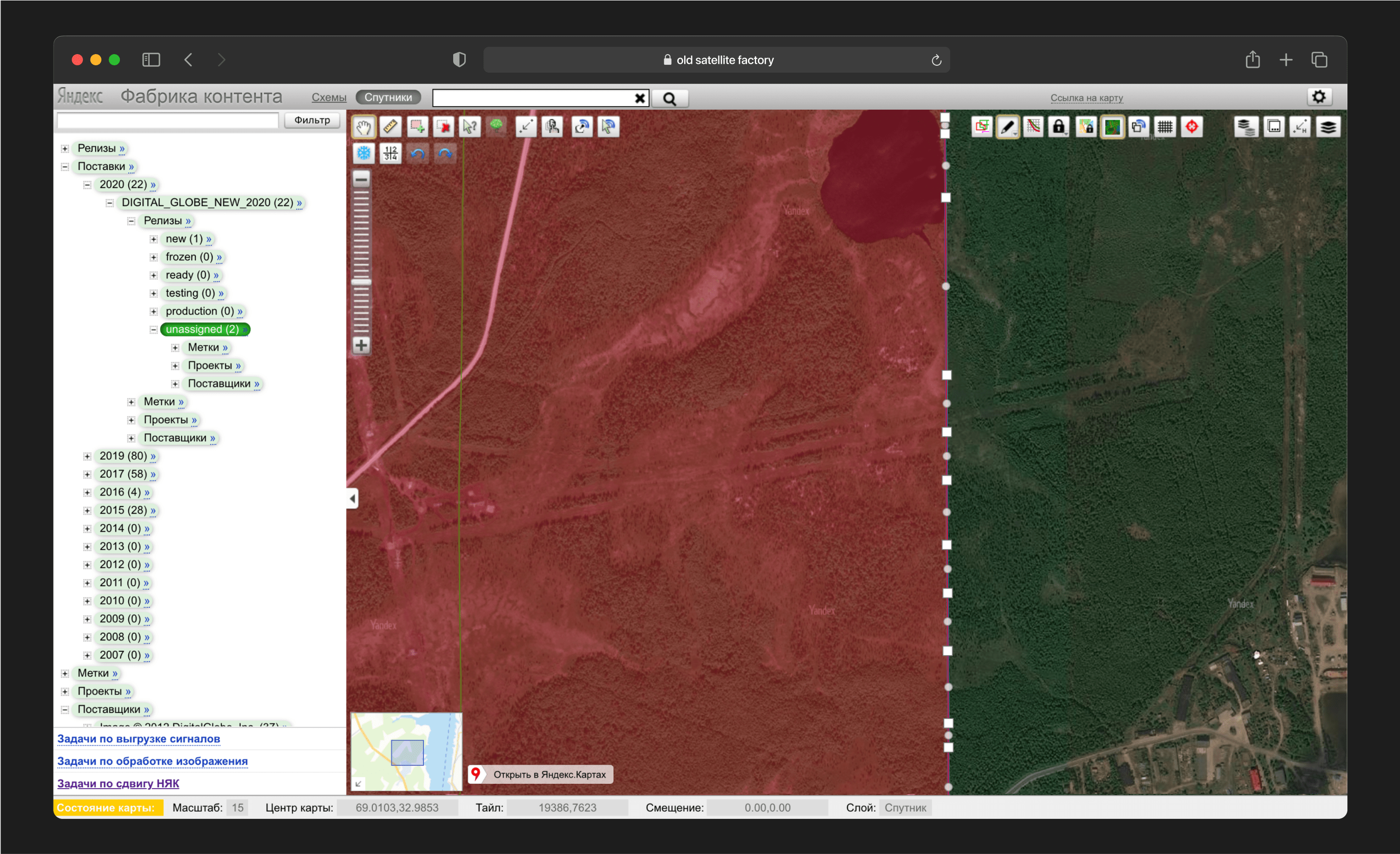
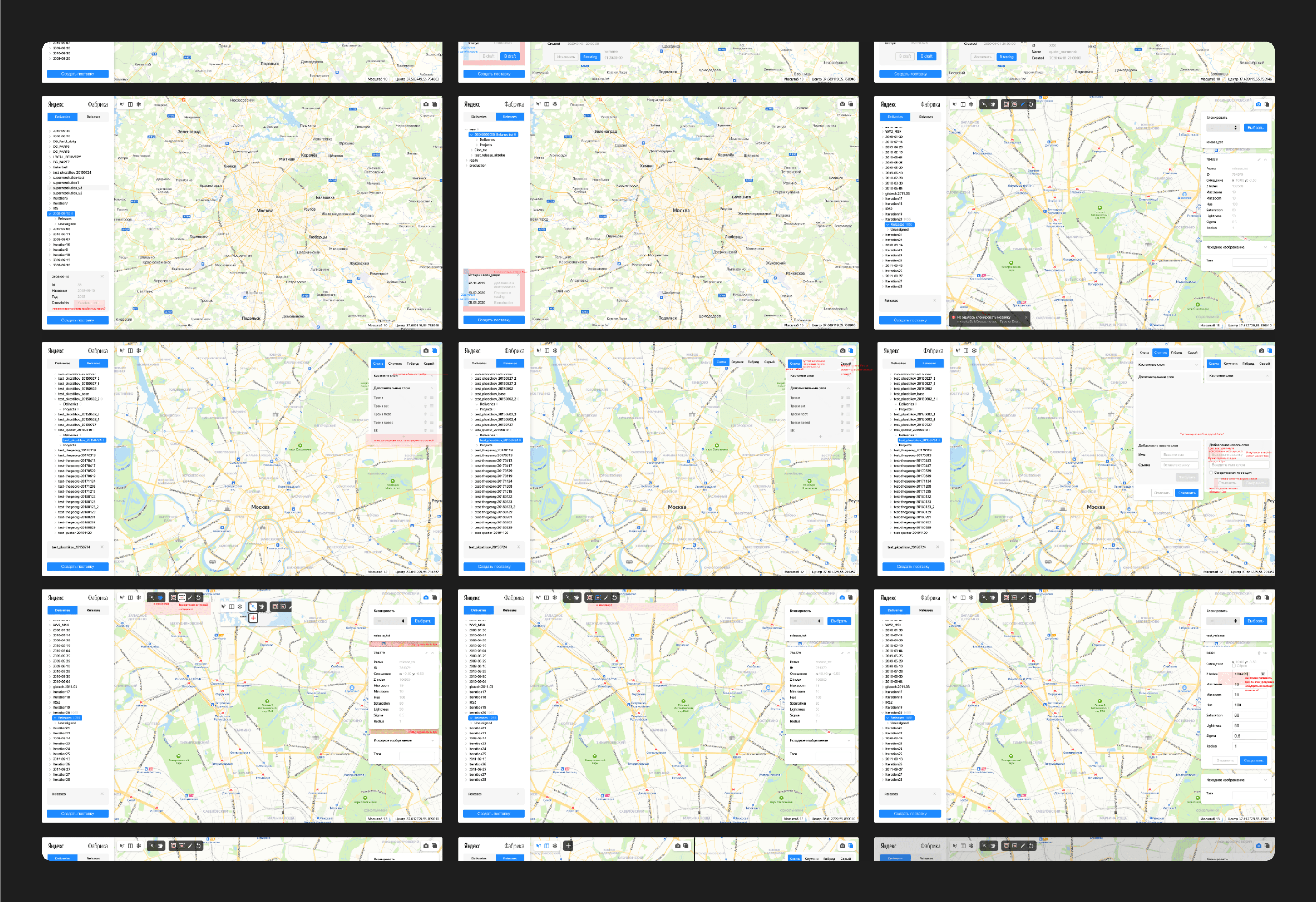
The first was a service for handling satellite imagery. This service not only looked outdated and inconvenient but had also reached a technological dead end. It was built on an old technical stack, and the layout was in xscript, making maintenance and updates nearly impossible. Concurrently with rewriting the service from scratch, I undertook a complete redesign.
The team of satellite image cartographers was small and deeply attached to their service. They even provided some initial wireframes:
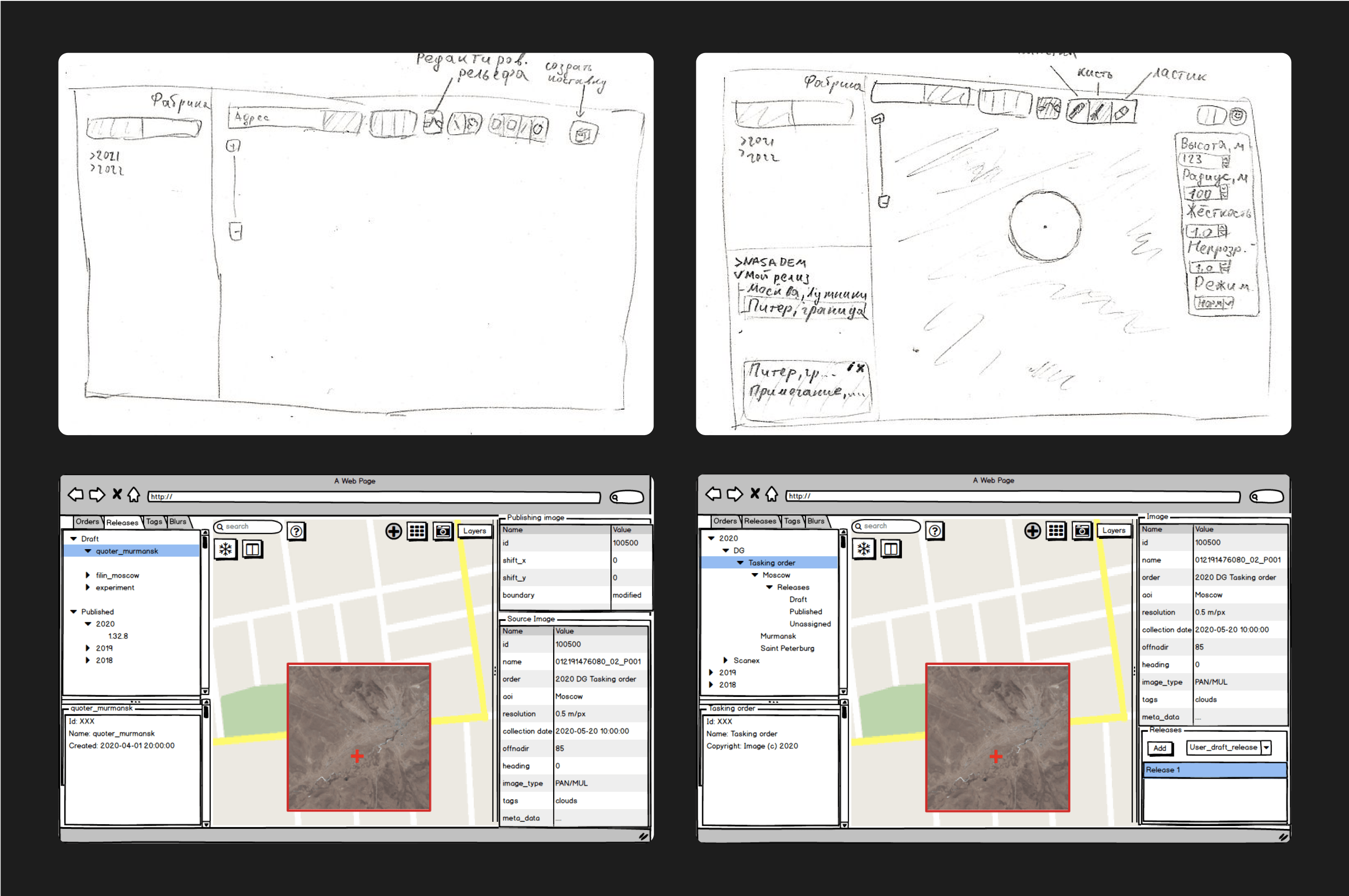
Taking into account the team's desires and the ideas embedded in their wireframes, I deconstructed the service into its basic components. I isolated all buttons, panels, modals, and elements onto a separate page to analyze their functionality.
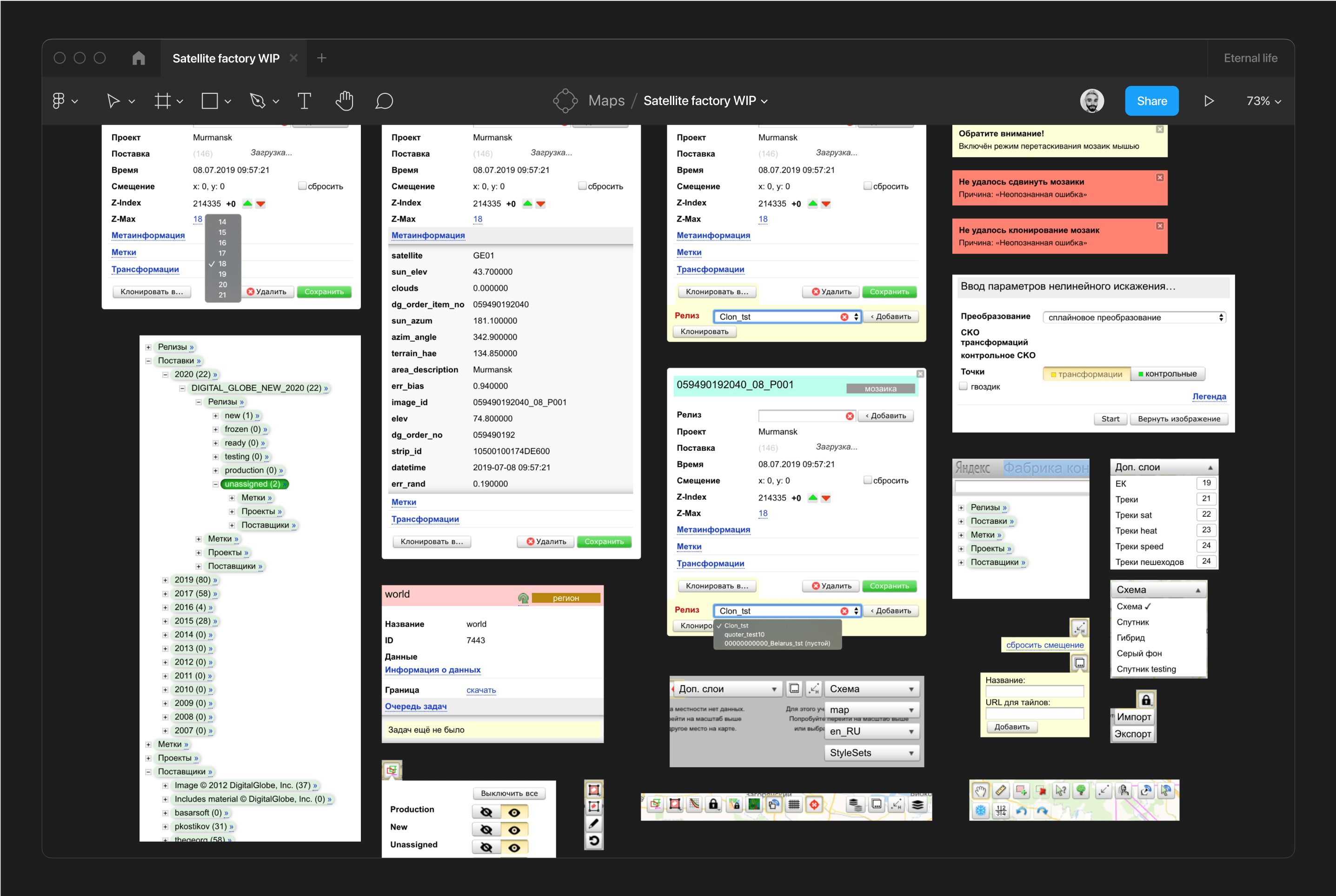
After several iterations, I began developing a new, convenient, and scalable system. We held weekly meetings to discuss progress and review layouts. I gathered further insights from the team, which informed the final adjustments to my initial design.

We then launched the first version of the revamped service.
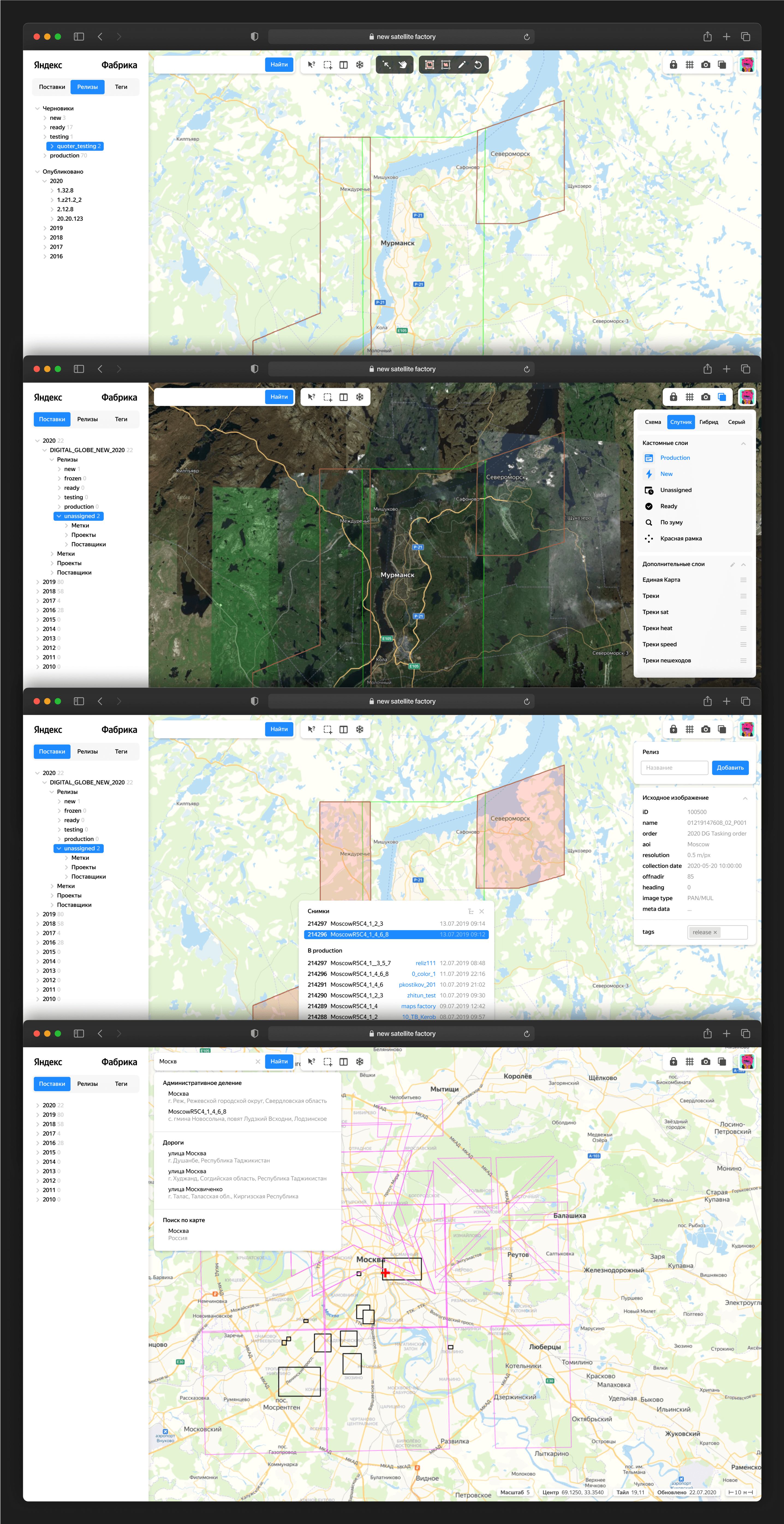
Following this release, I continued working closely with developers for several more weeks, providing feedback on their layouts and correcting any inaccuracies.
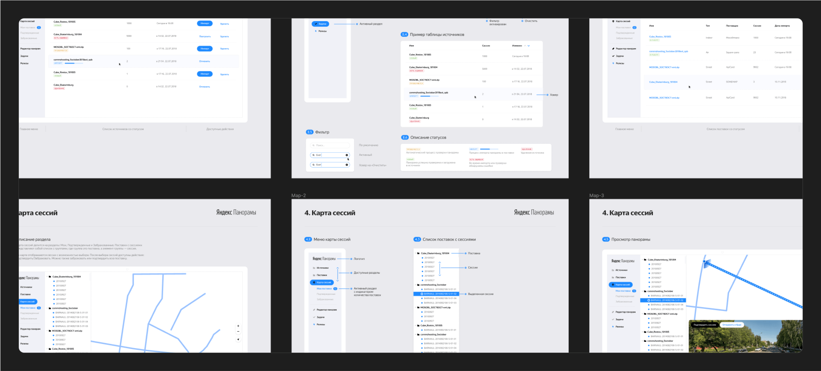
Panoramas
Yandex Maps sources panoramic images from various studios and photographers worldwide but lacked an efficient interface to manage and process these images. The team previously uploaded all images manually to the map, highlighting the need for a new interface that would allow developers and photographers to streamline the process. Since this project was internal, I couldn't interview external users; instead, I relied on insights from meetings with developers and studios, as well as competitor analysis, to inform the design of more than six approaches.
Once the main scenarios were approved, I designed a comprehensive service system.
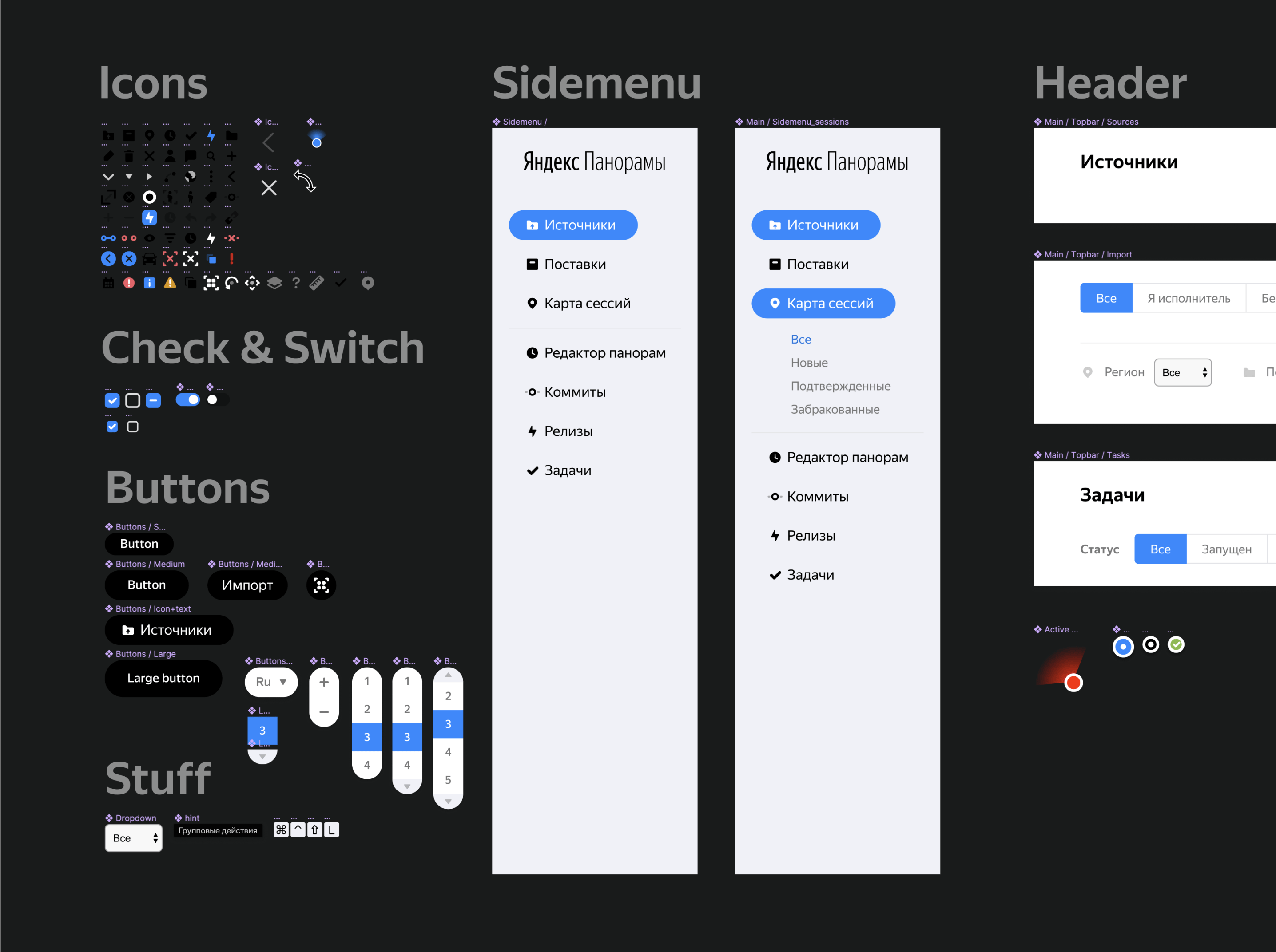
After designing the entire system, I started creating screens and overseeing their development.
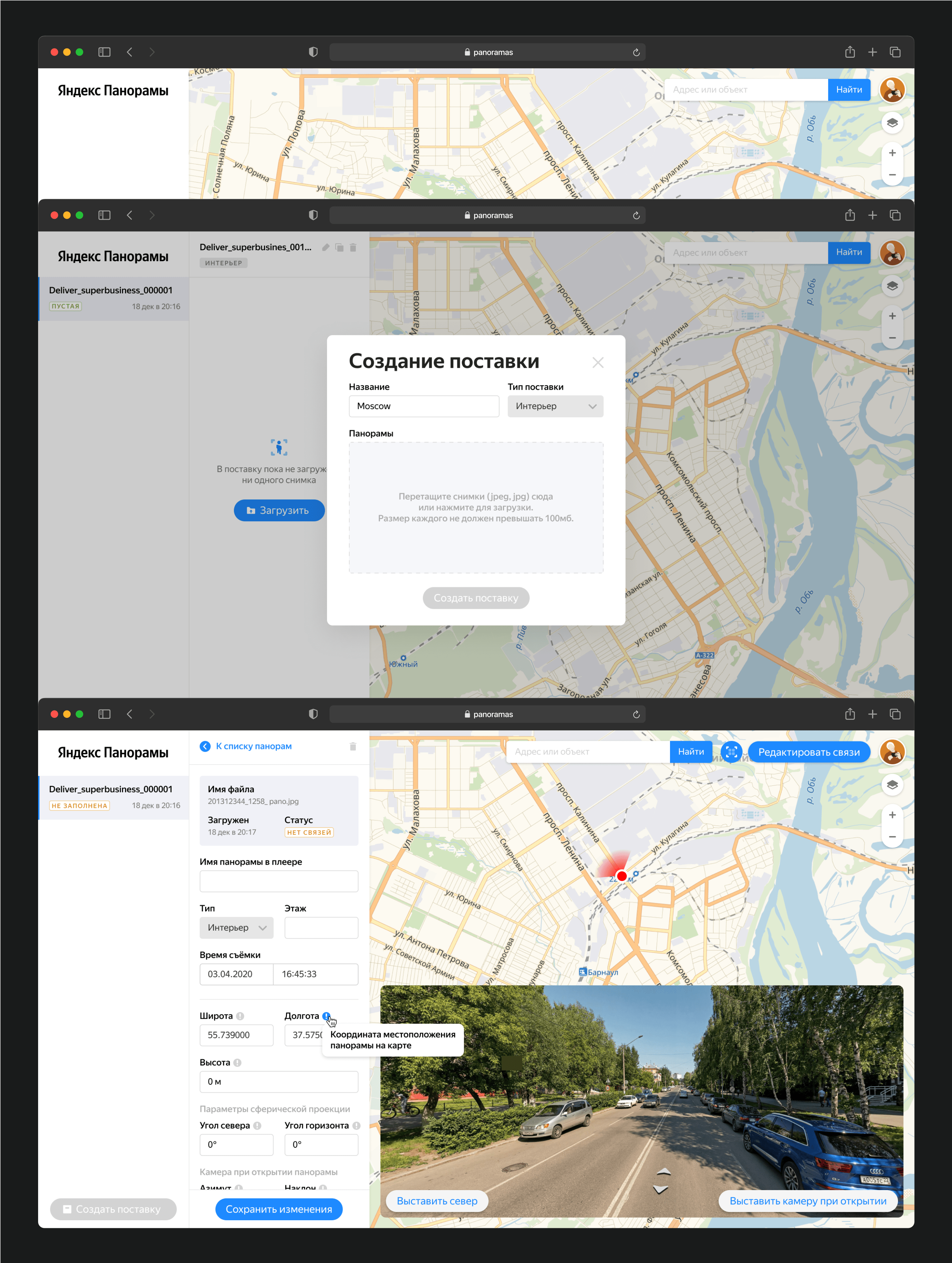
Having established a loading, communication, and processing service for panoramas, I moved on to the backend, where cartographers validate the panoramas.
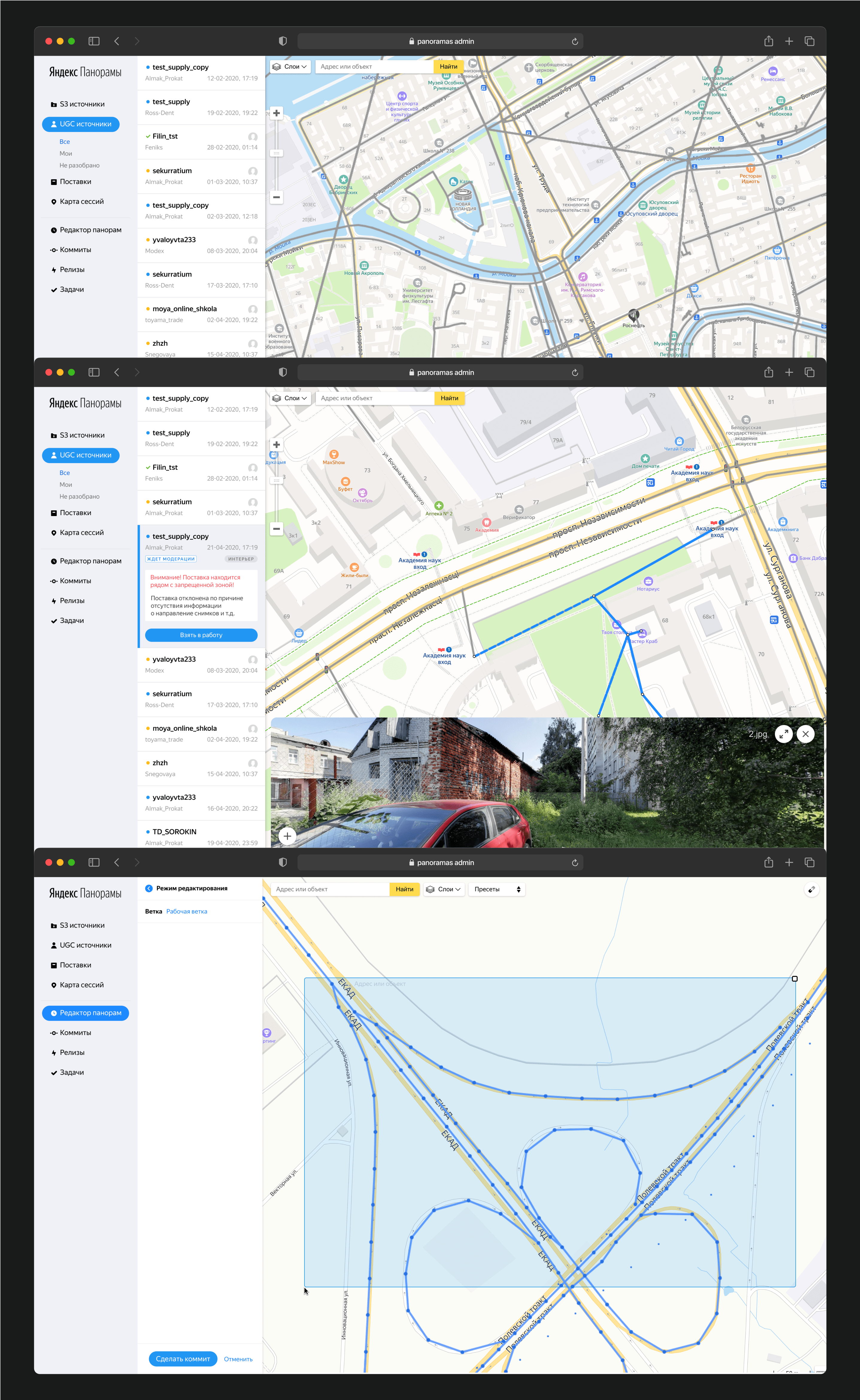
Panoramas admin
There was less work in this part as the service already existed and functioned to some extent. However, it was necessary to overhaul the entire system, update the design, and synchronize these changes with development efforts.